
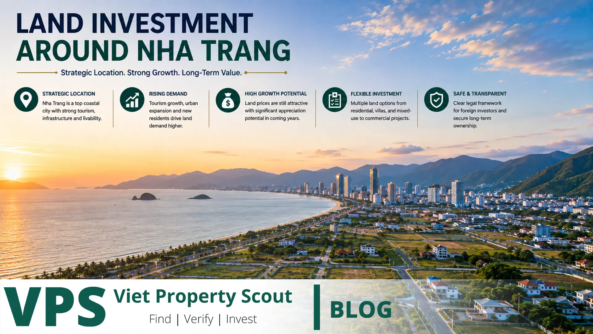
Short answer: Land around Nha Trang can offer compelling long-term investment opportunities, but the best parcel is not automatically the cheapest one or the one closest to a proposed road. Real value depends on five connected layers: legally valid land-use rights, the parcel's permitted planning function, actual access, the implementation status of infrastructure, and the ability of the area to generate genuine residential or commercial demand. Nha Trang's planning framework to 2040 points to meaningful expansion westward, southwestward and southward, together with development around selected northern gateways. Ring roads, new urban centres and regional connections may reshape accessibility, but a road shown on a planning map is not the same as a funded, constructed road, and inclusion in a future urban area does not automatically convert agricultural land into residential land.
Critical point for foreign investors: buying land is not the same as buying an apartment
This issue should be resolved before analysing any growth corridor. Vietnam's land system is based on land-use rights rather than private freehold ownership of land in the conventional sense. An ordinary foreign individual should not assume that he or she can directly buy a vacant land-use-right parcel in their personal name in the same way a qualifying Vietnamese citizen can. Housing legislation permits eligible foreigners to own certain housing within permitted projects, while direct land rights operate under a different legal framework. Foreign-invested economic organisations and certain overseas Vietnamese categories are also subject to different rules.
Using a Vietnamese friend or partner as a nominee, paying for land under an informal private agreement, or assuming that marriage or company formation automatically provides a right to acquire any plot creates substantial legal and control risk. The investment and ownership structure should be independently verified before any deposit is paid.
The planning framework behind Nha Trang's expansion
Two planning layers are especially important for long-term land analysis. Khanh Hoa's provincial plan for 2021-2030, with a vision to 2050, positions Nha Trang as a core urban centre and major growth pole. Below that level, the adjusted Nha Trang General Plan to 2040, approved in 2024 under Decision 259/QĐ-TTg, provides a much more specific spatial framework. Its planning area covers approximately 26,736 hectares and is organised into 14 functional development areas.
For investors, the general plan should not be interpreted as a list of places to buy. Its value is that it shows where authorities expect major functions such as new housing, education, health care, administration, transport, tourism, industry and logistics to develop. Whether an individual parcel benefits from that direction must then be tested against more detailed plans and its actual land-use status.
Major growth corridors around Nha Trang
| Corridor | Main growth driver | Potential opportunity | Main risk |
|---|---|---|---|
| Western Nha Trang / Võ Nguyên Giáp | Urban expansion, education, research, services and new transport connections | Gradual transition from peripheral low-density land into more integrated urban districts | Paying urban prices for agricultural land without a realistic conversion path |
| Southwest / south of Phong Châu | New administrative functions, public services, health care and urban development | Future institutional, housing and service demand | Flooding, drainage, land acquisition and infrastructure delay |
| Phước Đồng - Hòn Rớ - Nguyễn Tất Thành | Housing, sports, education, tourism and connection toward Cam Ranh | Combination of urban use and stronger regional accessibility | Large differences between buildable land, hillsides and restricted areas |
| Vĩnh Phương - Vĩnh Lương / northern gateway | Upgrading existing communities, eco-tourism and northern connections | Potential benefit from better access toward northern Khanh Hoa | Forest, hillside, drainage and infrastructure constraints |
| Diên Khánh / outer western expansion | Inter-regional roads, residential growth and improved access to Nha Trang | Lower entry prices in some locations with potential connectivity gains | Speculation years before infrastructure and real demand materialise |
Why western Nha Trang deserves particular attention
Westward expansion is one of the clearest structural directions in the 2040 plan. The western urban area around the Võ Nguyên Giáp axis is intended to accommodate science, research, education, health care, innovation and service functions. The plan also envisages a new railway station connected with other transport modes, while urban centres, parks and public spaces are organised around river and water systems.
This makes western Nha Trang a logical area for investment research, but it does not make every parcel in areas historically or locally known as Vĩnh Thạnh, Vĩnh Trung or adjoining parts of Diên Khánh a good investment. A plot may lie inside a road reservation, remain agricultural, be part of a drainage or river corridor, or lack a realistic route to residential conversion. Proximity to Võ Nguyên Giáp alone is not sufficient evidence of value.
Southwest Nha Trang: strong growth narrative, real water risk
The area south of Phong Châu and west of the Tắc River is assigned important urban, administrative, health-care and eco-tourism functions in the general plan. This makes it a frequent focus of land speculation and development narratives. At the same time, low-lying terrain and drainage capacity are material risks that should not be treated as secondary issues.
Western and southern parts of Nha Trang have experienced recurring flooding. Works to improve the lower Tắc River and its drainage capacity are therefore significant infrastructure projects. For an investor, that has two meanings: improved drainage can enhance long-term usability, but the existence of such a project also confirms that flooding is a real underlying risk rather than a theoretical concern.
The southern corridor: Phước Đồng, Hòn Rớ and Nguyễn Tất Thành
Nguyễn Tất Thành provides an important connection from southern Nha Trang toward Cam Ranh and Cam Ranh International Airport. The 2040 framework identifies Phước Đồng - Hòn Rớ - north of Cù Hin as an area for education, sports, tourism and mixed urban functions. Better regional connectivity can therefore improve the usefulness of some land that previously appeared too peripheral.
However, the phrase “southern corridor” should not be treated as a single investment rating. Some parcels have good access and established utilities, while others lie near mountain terrain, environmentally sensitive land or roads that exist only in planning documents. Parcel-level cadastral analysis remains essential.
The northern gateway follows a different investment logic
Northern development directions include Vĩnh Phương and Vĩnh Lương and the wider connection toward Ninh Hòa and the Vân Phong area. Planning calls for upgrading existing communities, adding health and service functions and developing selected eco-tourism uses. Regional accessibility also improved after the Vân Phong - Nha Trang expressway entered operation.
Nevertheless, some northern locations have significantly more mountain, forest and environmental constraints than western urban expansion areas. “Near the expressway” is therefore not sufficient. Investors should measure distance to an actual interchange, driving time, road access, land classification and buildability.
Diên Khánh: closely linked to Nha Trang but not the same market
Diên Khánh is the natural western extension of Nha Trang's economic influence and is increasingly relevant as transport links improve. One important inter-regional road project is approximately 19.15 kilometres long, including about 15.65 kilometres of new construction, and is intended to improve connectivity between the Nha Trang fringe and several Diên Khánh areas.
Investors must distinguish between an important infrastructure project and a completed road. As of August 2026, land clearance and construction progress remained active issues on this project. Pricing land as though the full connectivity benefit already exists can result in paying tomorrow's price for infrastructure that still carries execution risk.
Infrastructure affects value differently at each stage
| Project stage | Certainty | Investment approach |
|---|---|---|
| Completed and operational | High | Measure actual travel-time savings and current demand |
| Funded and under construction | Medium to high | Verify work progress, land clearance and schedule |
| Approved in planning but not started | Medium to low | Do not pay as if the infrastructure already exists |
| Proposal, brokerage story or market rumour | Very low | Assign little or no value until independently confirmed |
The largest theoretical upside is often available before infrastructure is completed. Unfortunately, that is also when delay, route changes, land acquisition and funding risks are highest. Disciplined land investing therefore focuses on the relationship between price and certainty rather than the most exciting appreciation story.
Ring Roads 2 and 3 and future public transport
The 2040 plan includes completion of Ring Roads 2 and 3 and additional main routes connecting western Nha Trang with National Highway 1 and new urban areas. It also envisages higher-capacity public transport on major corridors, including a BRT concept using Ring Road 3 and Nguyễn Tất Thành toward Cam Ranh International Airport, with possible future conversion to light rail if demand eventually exceeds BRT capacity.
For land valuation, the word “planned” matters. A future transport network should not be capitalised into today's land price as though it were already operating. Existing roads, projects under construction and long-term planning concepts must be valued differently.
Planning hierarchy: why a general-plan map is not enough
- Provincial planning: defines major economic centres, development zones and strategic corridors.
- City general planning: establishes the long-term urban structure and major land-use functions.
- 1/2000 subdivision planning: translates broad direction into more specific land uses, road networks and planning controls.
- 1/500 detailed planning: provides a more implementation-specific framework for particular projects or sites.
- Land-use planning and cadastral records: determine what is legally possible for the actual parcel under current conditions.
A parcel shown inside a future residential development area in a general plan does not immediately give the current owner a right to build housing on agricultural land. Current land purpose, eligibility for conversion, annual land-use plans, financial obligations and administrative approvals remain essential.
Land category matters more than the growth story
| Land category | What to verify | Common investor error |
|---|---|---|
| Residential land | Certificate, boundaries, legal access and construction restrictions | Assuming the entire parcel is classified as residential |
| Agricultural land | Purpose, term, conversion eligibility and planning status | Paying a residential-land price based on a conversion promise |
| Commercial/service land | Term, financial obligations and permitted use | Valuing it as though it were conventional residential land |
| Forest or hillside land | Forest classification, environmental rules and development restrictions | Assuming subdivision or construction will be straightforward |
| Land affected by a road or public project | Official alignment, acquisition limits and compensation framework | Buying because of the road and later discovering the plot is inside the road corridor |
Land acquisition risk: a new road can increase value or take part of the parcel
Infrastructure-led investment contains an important paradox. Being extremely close to a proposed road can be worse than being sensibly close. If a parcel lies within a road reservation, interchange, public facility or resettlement area, part or all of the land may be affected. Investors should obtain official alignment information and cadastral confirmation rather than relying on a line drawn by a broker on an online map.
Legal access matters more than straight-line distance
A plot may be only 200 metres from a major road yet depend on a narrow private lane with uncertain legal access. Road width, ownership of the access route, right of passage, vehicle access, future widening and usable frontage should all be checked. Landlocked or poorly accessed land can be difficult to build on, finance and resell even when it appears close to a growth corridor.
Stress-test land investment with four scenarios
| Scenario | Assumption | Question to ask |
|---|---|---|
| Base case | Infrastructure proceeds at a reasonable pace | Does today's entry price leave sufficient upside? |
| Delay case | Road or utilities are delayed for several years | Can the land be held without financial pressure? |
| No-conversion case | The land remains in its current category | Does the purchase price still make sense? |
| Acquisition or planning-change case | The parcel is partly or fully affected | Were official boundaries, compensation and downside risk checked? |
Due-diligence checklist before buying land around Nha Trang
- Confirm who legally holds the land-use right and whether that person or entity may transfer it.
- Match the parcel number, area and boundaries against cadastral records.
- Inspect the original land-use-right certificate.
- Check mortgages, attachments, disputes and existing contractual claims.
- Identify the legal use of every part of the parcel.
- Review the general plan, applicable 1/2000 plan and relevant detailed planning.
- Check current land-use planning, not only the 2040 vision.
- Determine whether the parcel is inside a road, infrastructure, public-project or acquisition corridor.
- Verify legal road access, electricity, water and drainage.
- Visit during the rainy season and investigate flood history.
- For land near hills, investigate slope, geology and landslide exposure.
- Compare pricing with verifiable transactions rather than asking prices alone.
- Include conversion charges, infrastructure, taxes and holding period in the financial model.
- Use independent legal and cadastral professionals before paying a deposit.
Common red flags
- “It will definitely become residential land next year” without official evidence.
- “The new road will pass here” without an approved planning map.
- Only a photograph or copy of the certificate is shown.
- An unusually low price combined with pressure for immediate transfer.
- Informal subdivision of agricultural land into small investment plots.
- A physical access lane that has no clear legal status.
- Low-lying land beside a river or canal with no flood review.
- A foreign buyer funding land registered entirely in a local friend's or partner's name.
- An investment model based solely on future appreciation without present-use demand.
Frequently asked questions
Is western Nha Trang the best place for land investment?
It is one of the most important growth corridors, but it is not automatically the best location for every investor. Parcel-level legal status, access, flood exposure and entry price may matter more than the corridor name.
Does a road shown in the 2040 plan guarantee that it will be built?
No. A planning document provides direction. Funding, project approval, engineering, land clearance and construction require separate steps and schedules.
Is buying agricultural land and later converting it to residential land a safe strategy?
No conversion should be assumed. Eligibility depends on planning, current land-use plans, legal conditions, fees and approval by the competent authority.
Does the Vân Phong - Nha Trang expressway make all northern land more valuable?
No. Value impact depends on real access to interchanges, travel time, permitted land use and actual demand. A parcel can be geographically close to an expressway but functionally far from an entrance.
Is Diên Khánh part of the same property market as Nha Trang?
It is strongly connected to Nha Trang but should be analysed as a distinct submarket because pricing, density, infrastructure, planning and demand differ materially.
Can a foreigner buy a vacant plot in their own name?
An ordinary foreign individual should not assume that they may directly acquire a standalone vacant land-use right in the same manner as a Vietnamese citizen. Foreign housing rights and direct land-use rights are different legal concepts and should be independently reviewed.
Conclusion: invest in implementation and legal rights, not lines on a map
The Nha Trang region has genuine long-term growth drivers: westward urban expansion, new southwest urban functions, stronger connections toward Cam Ranh, upgrades around the northern gateway, development in Diên Khánh and regional expressways. None of these factors makes every nearby plot a good investment. Prices can move years ahead of construction, while the parcel itself may remain non-convertible, flood-prone, affected by acquisition or poorly accessed.
For land, Find | Verify | Invest means: find a corridor supported by genuine economic demand, verify the land-use right, detailed planning, access, infrastructure status and environmental risks, and invest only when the entry price still makes sense if the road is delayed, conversion fails or the most optimistic scenario never occurs.